 Sinh Giang
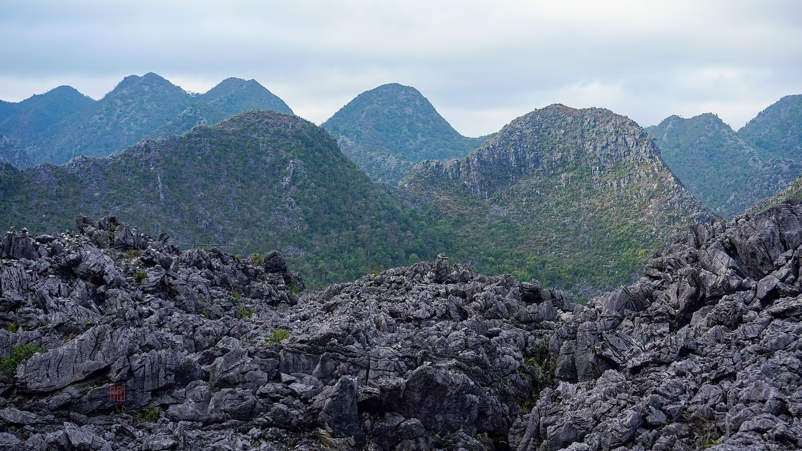
The Dong Van Karst Plateau UNESCO Global Geopark is a limestone upland on Vietnam’s northern border, about 2,350 square kilometres of rock, terraced fields and Hmong, Dao, Tay and Lo Lo villages that UNESCO’s geoparks network admitted in October 2010, the first geopark in Vietnam. It is the landscape that the Ha Giang Loop rides through, but it is more than a road: it is a place with its own rock record, 17 ethnic groups, a protection regulation and a long list of figures that disagree with each other online.
This guide is the slow version. It explains what the geopark is, what the rock underneath actually says, which stops are worth your time and what they cost, and where the sources contradict each other. We checked the facts between 29 and 31 October 2026 against UNESCO-linked reports, a peer-reviewed geology paper, Vietnamese government and press sources, and we mark each doubt. We run Sapa treks, not Ha Giang tours, so we have no seat to sell you here; if you want the riding itinerary or the safety record, those are separate pages: the Loop guide and the road-safety page.
What a Geopark Is, and Why This One Counts
A UNESCO Global Geopark is one defined area managed as a whole for its geology, its people and its tourism, not a national park with a gate. Dong Van is Vietnam’s oldest: it was admitted in October 2010, the first in the country and the second in Southeast Asia at the time, and Vietnam now has four (Dong Van, Non Nuoc Cao Bang, Dak Nong and Lang Son, according to the national network’s 2024 report). It is revalidated every few years, and Tuyen Quang officials describe keeping the title as an ongoing effort.
Admitted to the network
First revalidation, for 2015 to 2018
Second revalidation; sources differ
Third, decided in Morocco in September
Fourth inspection; no result found
The 2014 decision was handed over at a conference in Dong Van on 12 November 2014. The third was decided at the UNESCO geoparks conference in Morocco and celebrated in Dong Van at the end of October 2023, with the date given as 28 or 29 October depending on the report. The fourth evaluation mission visited 34 locations between 25 and 27 July 2026; we found no published decision as of 31 October 2026, so we cannot tell you the result.
The Rock Underneath: 500 Million Years in a Plateau
The geoheritage here spans roughly 550 million years, from Cambrian shales to the uplift that carved today’s plateau. The best source we found is a 2017 peer-reviewed paper by Doan and Gałka in the journal Geotourism, which divides the record into seven stages. The oldest rocks are marly and clayey shales and cherty limestones laid down in a shallow sea on a continental margin. A gap follows: rocks from the Middle Ordovician and Silurian are simply absent from the area.
The main limestone mass is younger: shallow-marine limestone and dolomite of the Early Carboniferous to Middle Permian, roughly 360 to 260 million years old and 1,000 to 1,200 m thick. Then came the Cenozoic uplift after the collision of India and Eurasia, which lifted the limestone and reactivated old faults. Crushed rock along those faults let rain and groundwater dissolve the limestone into the pinnacles, cones, sinkholes and caves visitors see. The Nho Que fault, about 40 km long, runs along the river of the same name.
Two numbers deserve care. Estimates of how much of the area is karst range from 60 per cent in the paper to 70 or 80 per cent in newspapers; we use the paper. And the plateau’s altitude runs from 174 to 2,265 m, with an average of 1,400 to 1,600 m according to the same paper, so you will see "highest peak 1,971 m" online that does not match it, and we leave it out. Groundwater lies 18 to 25 m down in some places and 700 to 800 m down at Meo Vac, at the level of the Nho Que River.
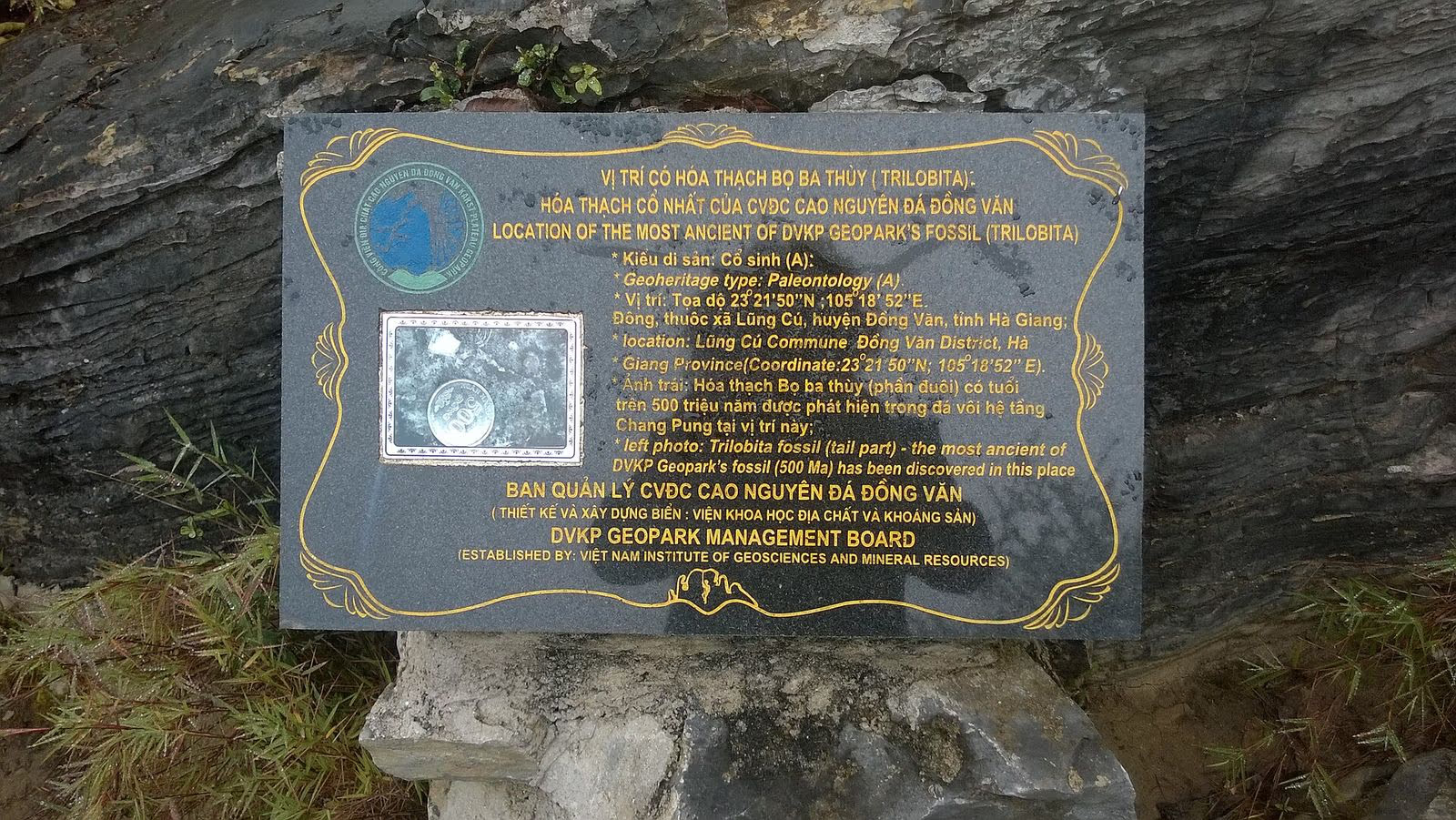
The fossils are the second reason UNESCO cares. Nineteen groups are listed, among them brachiopods, corals, trilobites, fish, conodonts and plants, and the record covers two mass-extinction boundaries (late Devonian and Permian-Triassic). The geopark’s own plaque near the Lung Cu flag tower marks where its oldest fossil, a trilobite tail, was found; the English text says about 500 million years, not the 540 you will read elsewhere.
The Stops Worth Your Time, From South to North
The plateau is spread over four former districts: Quan Ba, Yen Minh, Dong Van and Meo Vac. District government no longer exists as such since the 2025 reorganisation (see the section on names below), but the four names still describe the geography. A standard visit moves from Ha Giang city northward, with the distances below taken from one VnExpress guide updated in April 2026 and so approximate: Ha Giang to Heaven’s Gate about 40 km, to Yen Minh about 30 km on, to Dong Van about 45 km more, and to Lung Cu 25 km beyond that.
Heaven’s Gate and the Twin Mountains, Quan Ba
The rounded twin hills that Vietnamese call Nui Co Tien, "Fairy Bosom", are the first geological landmark. The Doan and Gałka paper describes them as karst cones shaped by a fault that crushed the limestone to powder, which water then washed away. Near Quan Ba the Lung Khuy cave charges 30,000 VND for an adult and 15,000 for a child under a 2022 provincial decision, and a 2025 resolution listing fees from 2026 shows 30,000 for the cave; we found no child rate in it.
Sung La Valley and Pao’s House
Sung La, in the Lung Cam cultural village, is the valley of terraces and small fields that the film Chuyen cua Pao (Pao’s Story), which won a Golden Kite in 2005, made famous. Pao’s house itself, built in 1947 by Mua Sua Pao in Hmong style with timber and rammed earth, is about 20 km from Dong Van town. Entry is free in one 2025 article and 10,000 VND in a 2026 guide; ask on the day. Buckwheat is best here in October and November.
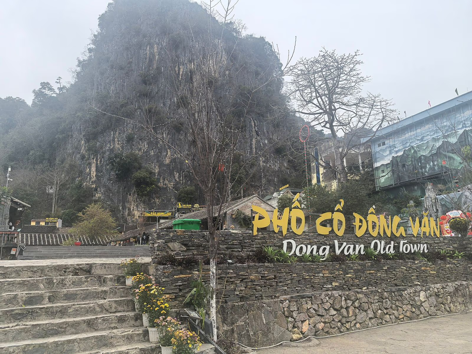
Dong Van Old Quarter and Its Sunday Market
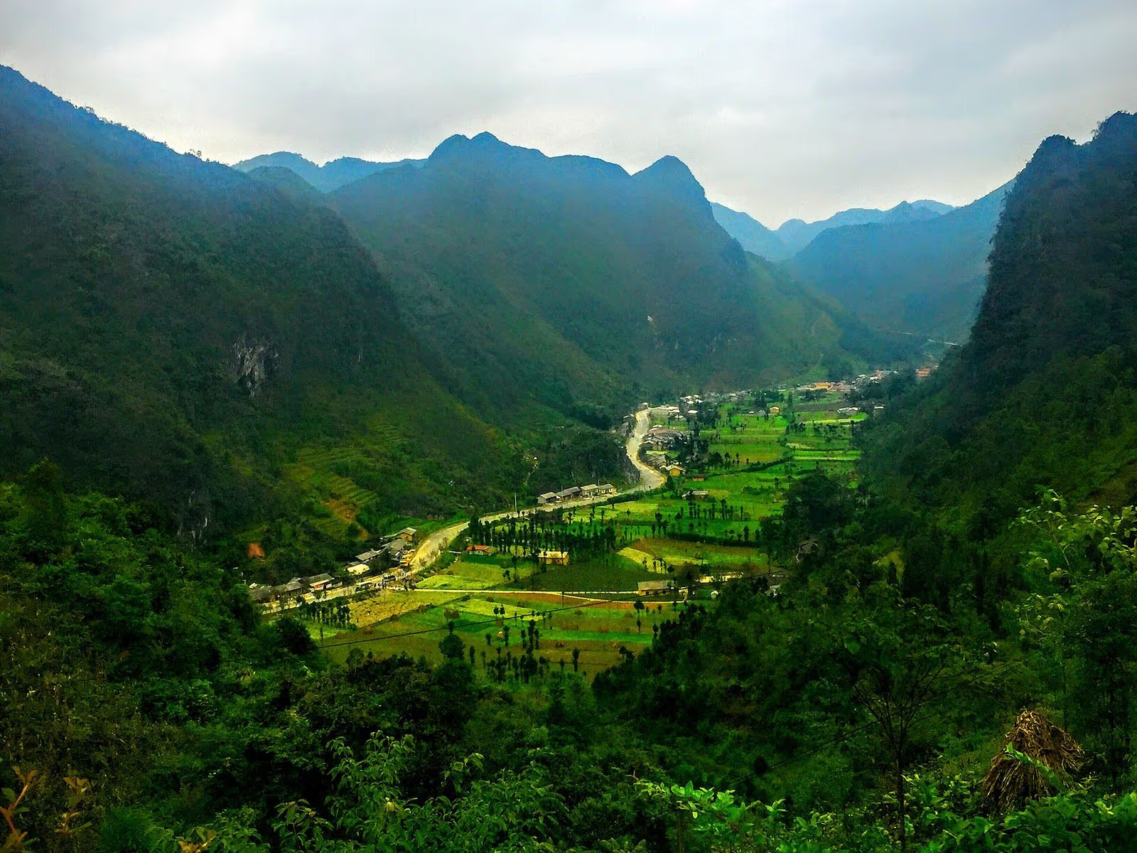
The old quarter formed in the early twentieth century and keeps about 40 rammed-earth houses with yin-yang tile roofs and strong Chinese influence, as well as a stone-built market from the 1920s, according to Vietnamese Wikipedia, which itself flags the page as needing sources. The Sunday market is held in the morning and sells farm produce, livestock, brocade and costumes, thang co stew, steamed maize meal, five-colour sticky rice and smoked buffalo. Reports disagree on where it stands now: one from August 2025 puts it in the old centre, another from December 2025 says it moved nearby so the old space could serve tourism.
Lung Cu Flag Tower
The flag tower stands about 24 km from Dong Van town near the Chinese border and is the most northerly stop on the usual route. The current tower was built from March 2010 and inaugurated on 25 September 2010 at a cost of about 20.8 billion VND, replacing a smaller tower from 2002. Its height is given as 33.15 m on Vietnamese Wikipedia and 34.85 m by another source, so we say "about 33 m". Climb 839 stone steps to a flag of 54 square metres, which stands for Vietnam’s 54 ethnic groups. The hill is about 1,470 m high, not the "nearly 1,700 m" of older articles.
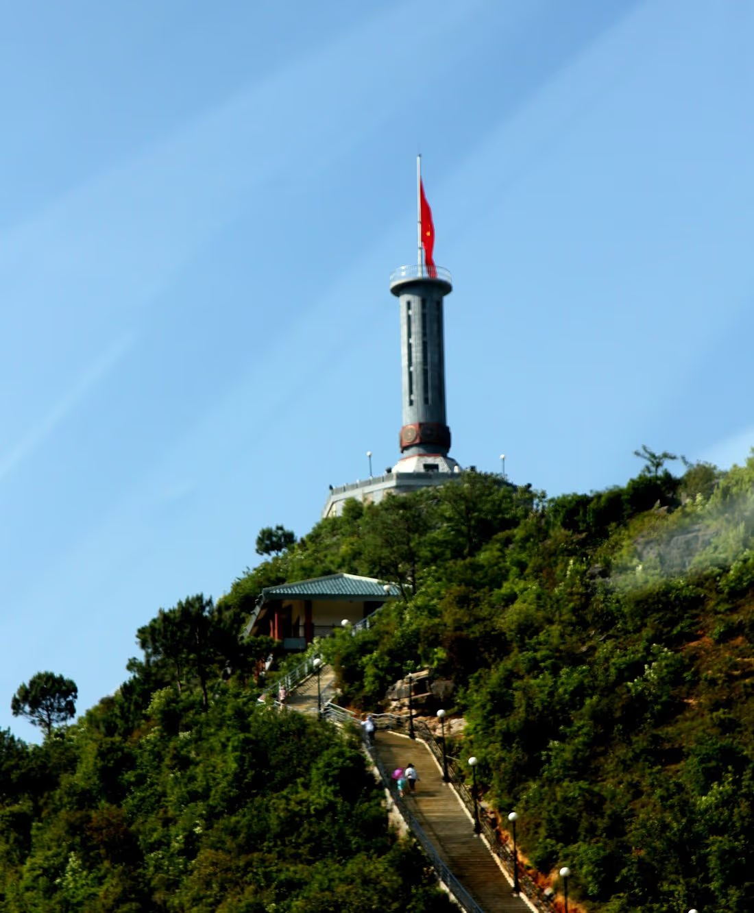
Tower tickets cost 40,000 VND for adults and 15,000 for children under a 2022 Ha Giang decision, though blogs quote 20,000 or 30,000, and the price after the merger is not confirmed. Because it is a border stop, tour operators say staff may ask for your permit slip; we cover that below. The commune counted about 329,000 visits in the first half of 2026, 80,820 of them foreign. A rule that matters this winter: according to a report from the commune’s People’s Committee on 24 October 2026, passenger vehicles are suspended on the road to the flagpole on Saturdays and Sundays from 15 October 2026 to 28 February 2027, and in Lo Lo Chai village from 17 October, with pick-up and drop-off points set up. Check at your hotel before you plan a weekend visit.
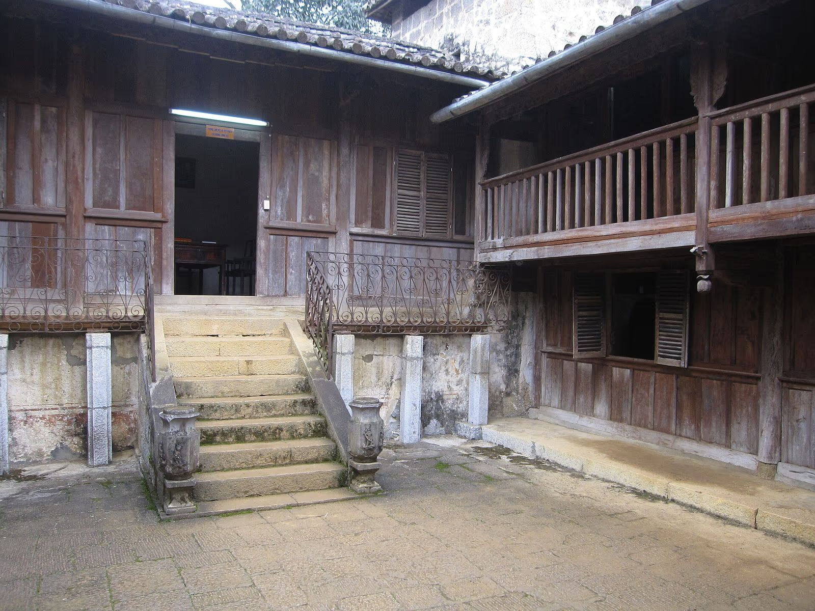
The Vuong Family Mansion at Sa Phin
The mansion, called the Hmong King’s palace in Vietnamese press, was built from 1898, finished in 1903 according to a July 2026 Bao Van hoa feature and 1907 according to Vietnamese Wikipedia, for Vuong Chinh Duc (1867 to 1947) and his son Vuong Chi Sinh, with Chinese craftsmen and Hmong labour. It covers nearly 3,000 square metres of grounds with 64 rooms, two stone walls about 3 m high with 36 loopholes, and was ranked a national monument in 1993. It is about 13 km from Dong Van town. A visit costs 30,000 VND under the 2022 decision, or 20,000 in a 2026 guide. The 1919 to 1926 date you may read in some blogs is not supported by the sources we found.
Ma Pi Leng, the Nho Que River and Tu San Canyon
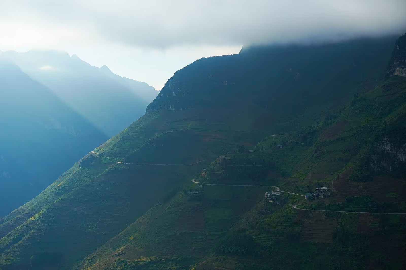
Ma Pi Leng is a pass of about 20 km on national road 4C between Dong Van and Meo Vac, cut as part of the "Happiness Road" built from September 1959 to June 1965 by more than 1,300 youth volunteers and over 1,000 local workers, moving about 2.9 million cubic metres of rock mostly by hand (both Wikipedia pages, which cite sources we did not open). Its height is given as 1,500 m or about 1,200 m, so we say "roughly 1,200 to 1,500 m". It was listed as a national scenic site in 2009.
Below it the Nho Que River runs through Tu San canyon, reported up to about 800 m deep and 1.4 to 1.7 km long, with walls 70 to 100 m apart. Three hydropower plants have stood on the river since 2012, so the water inside is a calm reservoir. Boats cost 150,000 VND per adult in a July 2026 article (earlier guides quoted 100,000 to 120,000), take 40 to 60 minutes, and are busiest from the tenth lunar month to the end of April. They stopped for days in September 2023 when a contract between the hydropower company and the local cooperative expired. Our safety page covers the road itself.
Meo Vac, Khau Vai and Lung Tam
Meo Vac is about 30 km from Dong Van town and more than 150 km from Ha Giang city. About 180 km from the city, Khau Vai holds its love market once a year on the 27th day of the third lunar month; the 2026 festival ran on 12 and 13 May. The market is said to date from 1919 and is tied to a legend of two lovers, one Nung and one Giay, who part and meet once a year; its custom has been a national intangible heritage since 2021. It differs from the tourist show in Sapa, which our Sapa love market guide explains. At Lung Tam in Quan Ba, Hmong women grow flax and weave linen, recognised as national intangible heritage in January 2016; a cooperative founded in 2001 has about 130 members, and the cloth is drawn in wax and dyed in indigo five or six times. Sept to April is the best time to visit, and some workshops let guests try spinning or weaving.
| Stop | Distance (source) | Ticket or fee |
|---|---|---|
| Heaven’s Gate, Twin Mountains | About 40 km from Ha Giang city | Free to see; Lung Khuy cave 30,000 VND |
| Sung La, Pao’s house | About 20 km from Dong Van | Free or 10,000 VND (sources differ) |
| Vuong mansion, Sa Phin | About 13 km from Dong Van | 30,000 or 20,000 VND |
| Lung Cu flag tower | 24 to 25 km from Dong Van | 40,000 VND adult (2022 decision) |
| Tu San canyon boat | Near Ma Pi Leng, toward Meo Vac | 150,000 VND (July 2026) |
| Meo Vac town | About 30 km from Dong Van | None for the town |
The People Who Make the Plateau
The plateau has 17 ethnic groups according to the government portal and VietNamNet, although Vietnamese Wikipedia says 19. The Hmong are by far the largest: 71.6 per cent of residents, and 241,304 people in 2021, about 78 per cent of Ha Giang’s Hmong, according to a 2023 article in the journal Tap chi Dan toc hoc. Other groups named in the UNESCO text are the Dao, Tay, Nung, La Chi, Pu Peo and Lo Lo, and the press adds the Giay and Hoa. The paper’s population count is 336,904, undated; older figures of about 250,000 date from 2009 and cannot be compared.
Food is where you will notice them first. The local dishes in VnExpress guides are thang co (a stew), men men (steamed maize meal, not a wine), buckwheat cake, five-colour sticky rice and wild-bee mint honey harvested around the ninth to twelfth lunar months. Corn wine, called ruou ngo, is sold at Pao’s house. For the groups themselves, our Black H’mong and Giay pages describe the Sapa communities, which are related but not the same people as those on this plateau.
Festivals follow the calendar. The buckwheat flower festival, in its 12th edition, opened on 25 October 2026 in Dong Van and runs to the end of December; our buckwheat season guide covers it. Gau Tao, the Hmong spring festival, is held between the second and fifteenth day of the first lunar month in one commercial source; our Gau Tao guide gives dates for Sapa.
Who looks after all this? A management board for the geopark exists, with 24 staff including three geoscientists in 2020, according to the network’s annual report. The national network’s 2024 report says the board held trainings on climate change and geohazards, handed out 5,000 leaflets, 2,000 newsletters and 1,100 guidebooks, inspected 59 geosites and found unauthorised construction. Visitor numbers are large: provincial figures put visits to the geopark at about 2.3 million in 2022, and the same report says proposals to expand the geopark and put its board directly under the provincial government were reviewed in 2024, with no decision found.
When to Go
October to December for the buckwheat, with November the peak, and spring for plum, peach and rapeseed blossom. VnExpress gives a mean annual temperature of about 20°C, winter lows of 1 to 2°C with frost and sometimes sleet, and 1,750 to 2,000 mm of rain with the wet season from May to October. We found no station data by month, so we cannot give you a monthly table; the "nearly 40°C in summer" on the same page is implausible at this altitude. June and July are green but rainy, and our safety page rates May to August as the riskiest months on the road.
How to See It Without Riding the Loop
The plateau does not need a motorbike. VnExpress advises a private car of 7 to 16 seats for elderly travellers, children or people short of time, and it quotes at least three days and two nights for the route. Hanoi to Ha Giang takes 5.5 to 6.5 hours by bus or limousine, and Ha Giang to Dong Van is about 150 km and 3 to 5 hours depending on vehicle. Rooms in Dong Van run roughly 400,000 to 1,000,000 VND, and a mattress in a stilt house 100,000 to 250,000. Buses from Meo Vac to Hanoi leave at 14:00 and 21:00 on one guide. Our Sapa to Ha Giang guide covers the connection from the north.
Tickets, Fees and the Border Permit
There is no gate to the geopark. Three sites sell tickets: Lung Khuy cave, the Vuong mansion and the Lung Cu flag tower, and about 40 sites could charge. A provincial decision signed on 31 October 2023 approved a fee of 30,000 VND per adult per night of accommodation across the four districts, collected by lodgings, with discounts for children and exemptions for the very young and old. We could not confirm that it is being collected in 2026.
On the permit, we found no government page. Decree 34/2014/ND-CP covers entry to land-border areas and was amended in November 2025, but the text speaks of foreigners living in Vietnam. Tour operators say foreign visitors need a paper permit for the plateau, at roughly 200,000 to 250,000 VND on one site and about $25 on another, issued in Ha Giang city; the two disagree and give no legal basis. Ask your operator, and do not rely on us or a blog.
Visiting Without Harming It
Tuyen Quang province issued Decision 27/2026/QD-UBND, in force from 10 May 2026, which replaces the 2020 rules. It divides the area into a core zone, where anything changing the landscape or heritage is banned, a buffer zone and a transition zone. Visitors are told to follow posted rules, respect local customs, take away their waste and not remove specimens. In April 2026 officials named unlicensed motorbike taxis, self-made check-in spots, services without posted prices and unsafe tours "especially motorbike tours for international visitors" as problems. Experts in 2023 warned about illegal stone quarrying and building that ignores traditional architecture.
We found no dated report of litter, trampled fields or noise in 2025 and 2026, so we do not claim one. Our own advice, which is not sourced: ask before photographing anyone, stay on paths in fields that people farm, and buy something when you stop at a stall. The Tonkin snub-nosed monkey, with about 200 individuals left according to one source, also lives in this region.
Numbers You Will See Online That Disagree
The plateau is a place where blogs repeat each other, so we collected the figures that conflict and what we use.
| Fact | Figures found | What we say |
|---|---|---|
| Area | 2,345 (2026 decision); 2,350; 2,356; 2,346 | About 2,350 km² |
| Flag tower height | 33.15 m; 34.85 m; 29.5 m (design) | About 33 m |
| Lung Cu hill | 1,470 m; 1,500 m; nearly 1,700 m | About 1,470 m |
| Ma Pi Leng height | 1,500 m; about 1,200 m | Roughly 1,200 to 1,500 m |
| Tu San depth | 700 m; 800 m; nearly 1,000 m | Reported up to about 800 m |
| Second revalidation | 2018; 2019 | 2018 or 2019 |
| Oldest fossil | 500 million years (plaque); 540 | About 500 million years |
Ha Giang province merged into Tuyen Quang province from 1 July 2025 under Resolution 202/2025/QH15. The geopark name is unchanged, Dong Van is now described as a commune, and older books and signs still say Ha Giang.
Walk Sapa’s Terraces Before or After the Plateau
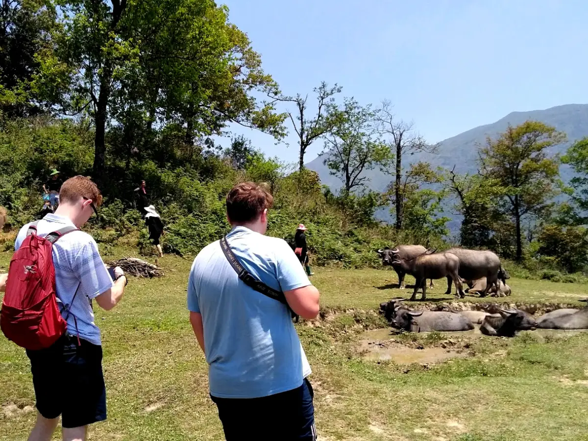 1-Day Trek
Trekking Through Rice Terraced Fields
The Lao Chai to Ta Van valley day, with a local guide and a finish in Sapa town.
 Homestay
Rice Terraced Fields & Homestay
A night with a local family in the valley.
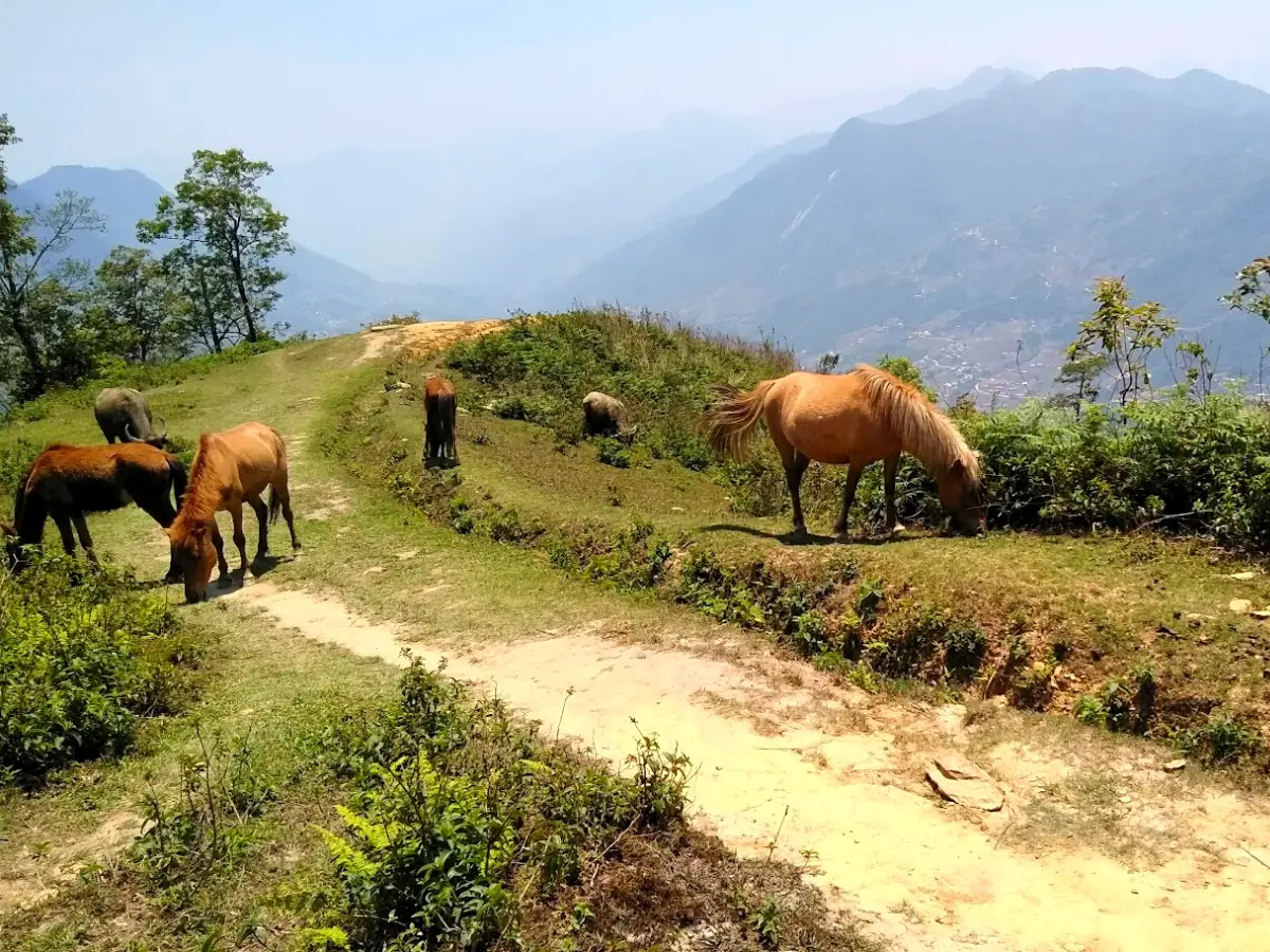 Local Favourite
Mountain Views and Villages Trek
Quieter ridge and village trails above the valley.
Where Sapa Fits In
Sapa has its own mountains, the Hoang Lien Son range, and its own ethnic communities, but the two landscapes are different: Sapa is terraces and valley villages on foot, the plateau is rock, passes and long road days. We cover the choice honestly in Sapa vs Ha Giang. Our company sells the Sapa part only. If you want a quiet walk after the plateau, or a first week in the mountains before it, tell us your dates.
Rent at Our Office Before You Trek
 Gear Rental
Trekking Boots Rental
Waterproof ankle-support boots. Cleaned and checked before each rental. Available at 105 Thach Son Street.
 Gear Rental
Walking Poles Rental
Trekking poles available to rent at $2/day at our office, 105 Thach Son Street. Essential for descents.
Frequently Asked Questions
It is a UNESCO Global Geopark in northern Vietnam covering about 2,350 square kilometres of limestone plateau, admitted to the global network in October 2010 as the country's first. The 2026 regulation lists 23 communes in the area of the four former districts of Quan Ba, Yen Minh, Dong Van and Meo Vac. It has 17 ethnic groups, the Hmong being the largest.
The geoheritage spans about 550 million years, from the Cambrian to the present. The main limestone mass is Early Carboniferous to Middle Permian, roughly 360 to 260 million years old and 1,000 to 1,200 m thick. The geopark's plaque near Lung Cu marks a trilobite fossil of about 500 million years, the oldest it has found.
No general entrance gate exists. Lung Khuy cave, the Vuong mansion and the Lung Cu flag tower sell their own tickets. A fee of 30,000 VND per adult per night of accommodation was approved in October 2023, but we could not confirm it is being collected in 2026. Prices change, so ask on the day.
Tour operators and hostels say a border-area permit is needed and arranged in Ha Giang city, with fees quoted from about 200,000 VND to $25, but we found no government page and no legal basis for short-stay visitors. Decree 34/2014/ND-CP, amended in November 2025, speaks of foreigners residing in Vietnam. Ask your operator before you go.
October to December for the buckwheat flowers, with November the peak, and spring for plum, peach and rapeseed blossom. The wet season runs from May to October and winter nights fall to 1 or 2°C with frost. We found no monthly station data, so we cannot give a monthly table.
Yes. VnExpress advises a private car of 7 to 16 seats for older travellers, children or people short of time, and at least three days and two nights. Hanoi to Ha Giang takes 5.5 to 6.5 hours by bus or limousine, and Ha Giang to Dong Van is about 150 km, taking 3 to 5 hours depending on the vehicle.
It is an annual festival in Khau Vai commune, held on the 27th day of the third lunar month; in 2026 it ran on 12 and 13 May. It is said to date from 1919 and is tied to a legend of two lovers, one Nung and one Giay, who meet once a year; it is a national intangible heritage. It is different from the weekly tourist show in Sapa.
No. Under Resolution 202/2025/QH15, Ha Giang merged with Tuyen Quang into a new province named Tuyen Quang, with its government operating from 1 July 2025. The geopark keeps its name, and tickets, signs and guidebooks still say Ha Giang.