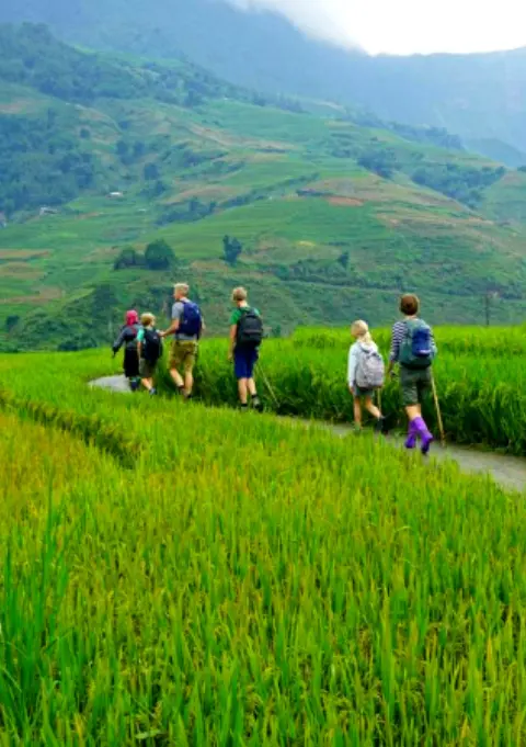
 Sinh Giang
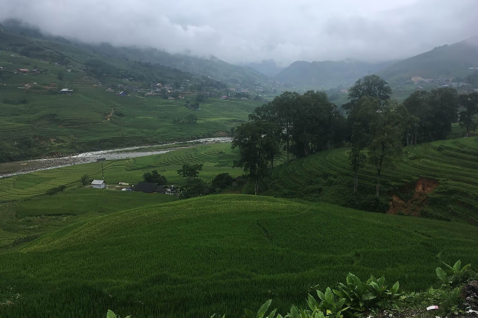
Twenty minutes south of Ta Van, the rice terraces run out and the trail ducks into a wall of green that blocks out the sun — stem after stem of bamboo cane, close enough on both sides that you could touch two at once. This is the forest that gives Giang Ta Chai its name among trekkers, and it's only the first of three reasons to walk this far: a cascade waits on the far side, and the village itself sits a short climb beyond that, at just over 1,400 metres.
This guide covers all three in order: what the bamboo forest trail is actually like underfoot, what's waiting at the waterfall and the rattan bridge before it, who lives in the Red Dao village at the top, and how to string it together into a day trip or an overnight stay without getting lost on the unmarked forks south of Ta Van.
What Is Giang Ta Chai, and Why Visit for Three Things at Once?
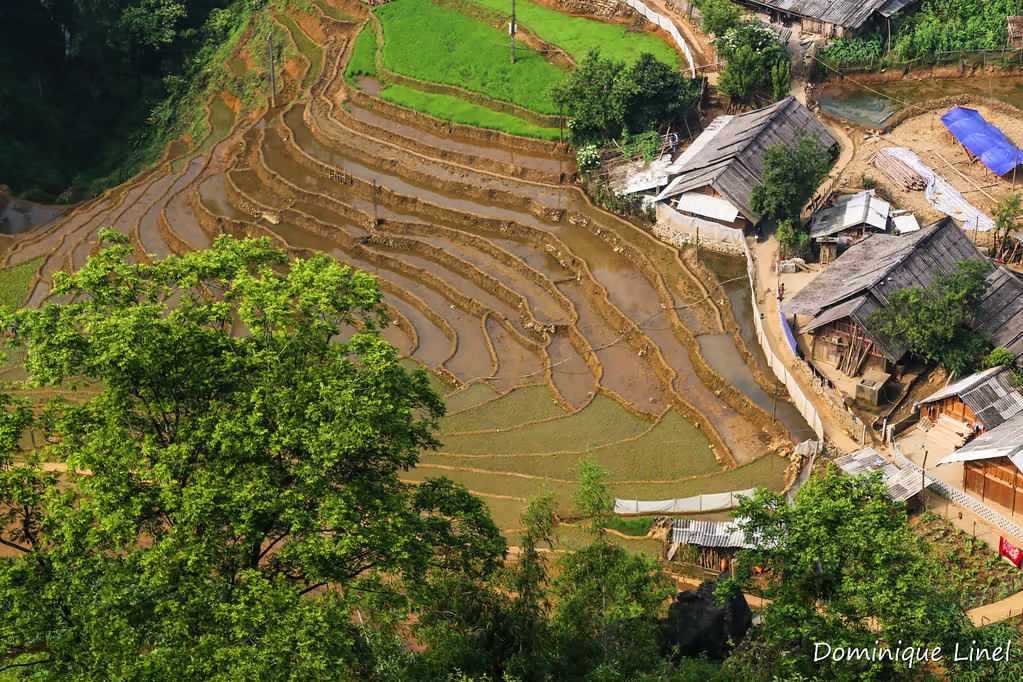
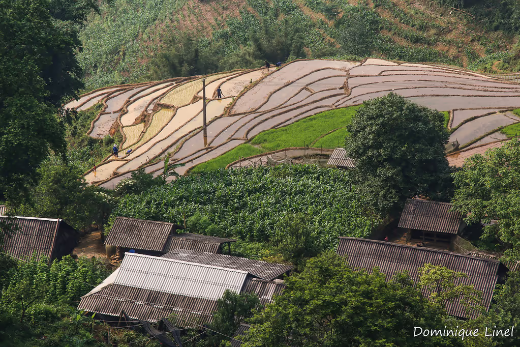
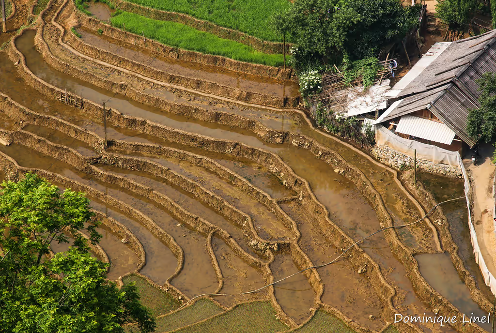
Giang Ta Chai is a small Red Dao hamlet at the far end of the Muong Hoa Valley's trekking corridor, reached on foot past Lao Chai and Ta Van. What makes the extra distance worth it is that the walk itself passes through a genuine bamboo forest and a waterfall before you even reach the houses, so a single out-and-back covers three distinct things most Sapa itineraries only offer one of.
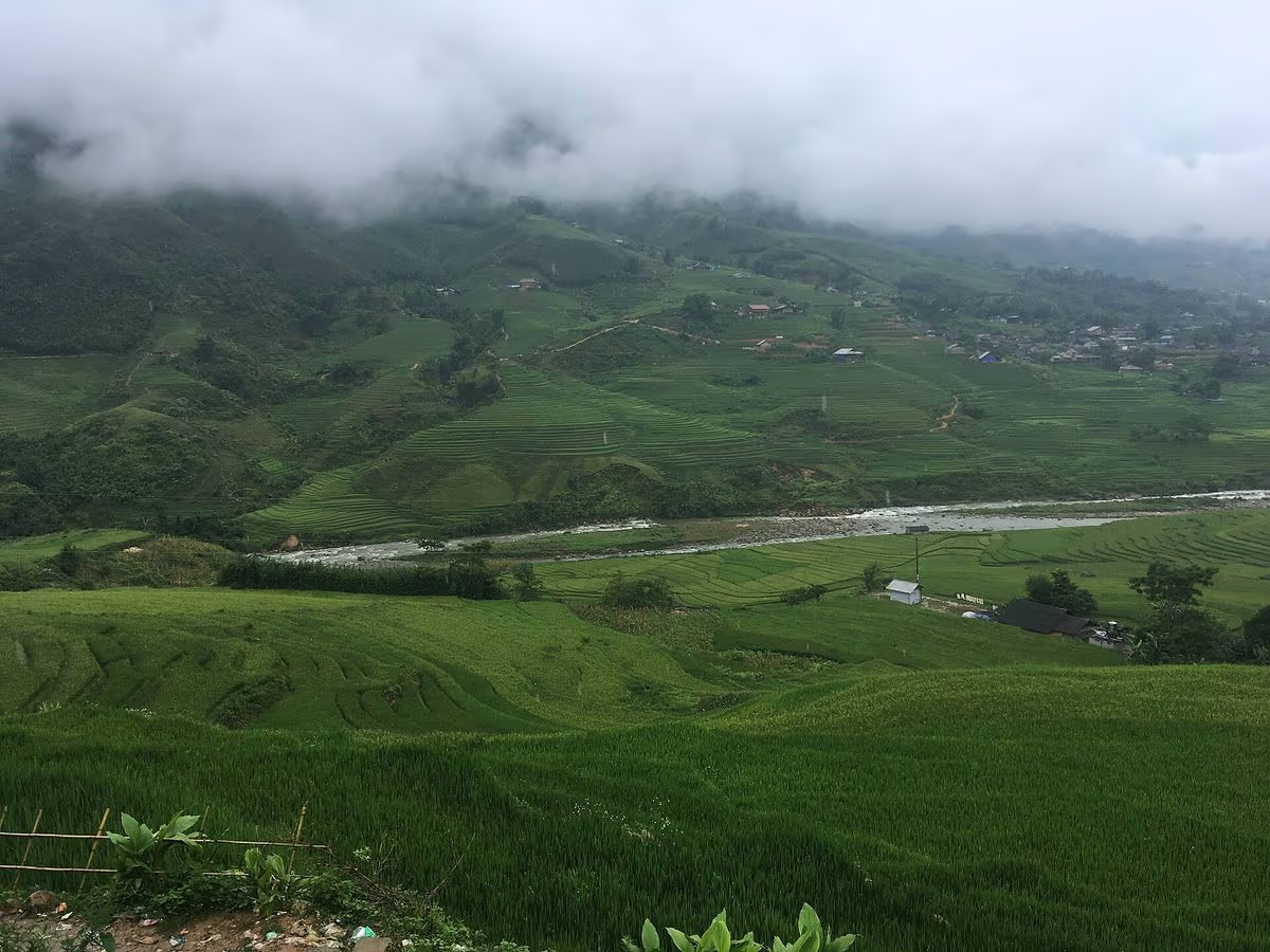
Administratively, the hamlet sat inside the old Hau Thao commune. Lao Cai's province-wide commune mergers in mid-2025 folded Hau Thao together with neighbouring Su Pan into a new commune called Muong Hoa, while Ta Van itself — along with Hoang Lien and the old Muong Hoa commune — was absorbed into a commune that kept the Ta Van name. None of that changes the walk for a visitor: you'll still hear it written as Giang Ta Chai, Giàng Tả Chải, or occasionally Giang Ta Chải depending on who's transliterating it, and you'll still reach it by passing through Ta Van first, as laid out in our full Muong Hoa Valley guide.
The spelling variation is worth knowing before you search for this place online: "Giang Ta Chai" is the romanised form most English-language sites use, while Vietnamese sources write it with full diacritics as "Giàng Tả Chải." Neither is wrong — they're the same village — but if you're cross-checking reviews, GPS pins, or tour itineraries, searching both versions will turn up more results than sticking to just one.
The village itself is small — a cluster of wooden and earthen Red Dao homes strung along the hillside at roughly 1,400 metres, ringed by about 50 hectares of primary forest and another 30 hectares of regenerated forest according to local commune figures. Exact population counts aren't published anywhere reliable, so treat any specific head-count you read elsewhere with some scepticism. What matters more for planning is that there are enough homestay households to take overnight guests comfortably, without the volume of day-trip traffic you'll find closer to Sapa around Y Linh Ho and Lao Chai.
That lower traffic is really the point of going this far. Lao Chai and Ta Van sit on the standard 1-day route out of Sapa, and on a September morning you'll share the suspension bridge and the paddy paths with dozens of other trekkers. Giang Ta Chai is reached almost exclusively by multi-day groups and the occasional independent hiker willing to commit to the extra hour or two on foot, which means the bamboo forest trail, the waterfall, and the village lanes themselves stay genuinely quiet even in peak season. It's not an untouched secret — local guides have walked tourists through here for years — but it is a noticeably different crowd density from the villages closer to town.
The Bamboo Forest Walk (Rừng Trúc)
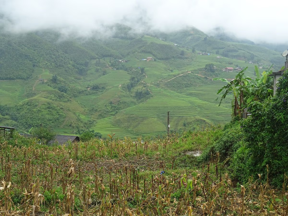
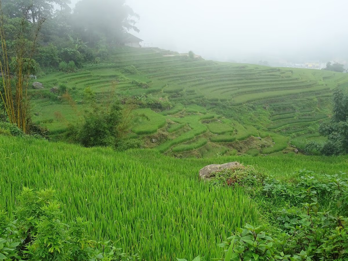
The bamboo forest starts about two kilometres south of Ta Van's village centre, where the rice terraces give way to a steep bank of planted and self-seeded bamboo that locals have never cleared because the root systems hold the slope together. The trail through it is narrow, shaded, and — underfoot — the one stretch of this whole walk where footwear actually matters.
Expect packed earth laced with exposed roots and a litter of dropped bamboo leaves that stays slippery even when the rest of the trail has dried out. The canopy closes in enough that the temperature drops noticeably compared to the open terraces behind you, and on a windy day the canes knock against each other with a hollow, almost percussive sound that's distinctive enough that trekkers who've done this route before will recognise it immediately. The forest section itself takes about 20–30 minutes to walk through before the trail opens up again toward the stream and the waterfall.
This isn't an ornamental grove — it's a working resource. Villagers cut mature culms for house frames, fencing, and the scaffolding used to dry rice, and in spring they harvest the young shoots for măng, a bamboo-shoot dish that turns up boiled, pickled, or stir-fried at homestay meals throughout the valley. That's part of why the forest has never been cleared for more terracing: it earns its place on the hillside. Bamboo shoots come up fastest during the rainy months, so the same May–August window that makes the trail muddiest is also when you're most likely to see a shoot being harvested — the cutting technique, done low and at an angle so the root clump keeps producing, is something most visitors walk straight past without noticing.
Giang Ta Chai Waterfall
Past the bamboo forest, the trail drops toward a tributary of the Muong Hoa stream and the Giang Ta Chai waterfall comes into view — a modest, multi-tier cascade rather than the single dramatic drop you'd see at Love Waterfall or Silver Waterfall on the other side of Sapa town.
Flow is noticeably fuller from May to August, when the whole Hoang Lien Son range is at its wettest, and thins out considerably by December and January. Unlike the two waterfalls on the O Quy Ho Pass road, there's no ticket gate, no lifeguard, and no posted safety signage here — this is a village-adjacent natural feature, not a managed attraction. If you want to get in the water, ask your guide about current levels and submerged rocks first; conditions change with the season and after heavy rain upstream.
Most groups treat it as a 15–20 minute rest stop rather than a swimming destination — shoes off, feet in the shallow pool below the lowest tier, lunch unpacked on a flat rock if the group timing works out. Midday light is the most forgiving for photos here, since the gorge sits low enough that the surrounding tree cover keeps direct morning and late-afternoon sun off the water. It's a smaller, quieter stop than either of Sapa's two headline waterfalls, and that's really the honest pitch for it: there's no crowd to work around, but there's also less water than the name "waterfall" might suggest to someone picturing Love Waterfall or Silver Waterfall.
The Cau May Bridge — Not Actually a "Cloud" Bridge
About three kilometres before the village, the trail crosses the Muong Hoa stream on a cầu mây — a suspension bridge woven from mây, the rattan-like cane vine harvested locally, strung between bamboo posts by H'mong builders using the same technique seen on similar crossings elsewhere in the valley.
It's worth clearing up a common mistranslation here: "mây" is a genuine homonym in Vietnamese — the same word means both "cloud" and the rattan cane the bridge is woven from, which is why English-language tour write-ups sometimes romanticise it as a "Cloud Bridge." The construction material is rattan, not weather. The crossing itself has a noticeable sway underfoot, which first-time visitors — and anyone trekking with young children or a fear of heights — should expect and move across slowly, one person at a time.
These rattan crossings aren't unique to Giang Ta Chai — similar cầu mây bridges span the Muong Hoa stream near Lao Chai and Ta Van further north, rebuilt every few years as the cane weathers and weakens. What makes this particular one worth mentioning on its own is the setting: unlike the more photographed crossing near Lao Chai, this one sits deep enough into the valley that you'll likely have it to yourself, with the sound of the stream below and the bamboo forest you just walked through still visible on the opposite bank.
The Village: Red Dao Life at 1,400 Metres
Giang Ta Chai itself is a Red Dao hamlet, identifiable from a distance by the women's bright red headscarves and heavy silver jewellery, with a smaller number of Giay and Black H'mong households also settled along the stream corridor below it. It's a different ethnic mix from Ta Van just to the north, which is the main Giay community in this stretch of the valley — part of what makes walking both villages in sequence interesting rather than repetitive.
Red Dao households here keep up the same crafts practised across their communities in Lao Cai: indigo dyeing, cross-stitch embroidery on handwoven cotton, and silver inlay work, usually visible as fabric drying in a yard or a woman stitching on a porch rather than as a staged demonstration. For Red Dao men, the most significant marker of adulthood is the Cap Sac initiation ceremony — a ritual rite of passage that, when it happens at all during your visit, is a private family and community event rather than something staged for tourists, so treat any chance encounter with one as a privilege rather than an expectation.

Indigo, Silver, and the Herbal Bath Tradition
The indigo cloth you'll see drying outside Red Dao homes starts as raw cotton, hand-spun and woven on a wooden loom, then dipped repeatedly in a fermented indigo-leaf vat until it reaches the near-black shade Red Dao clothing is known for — a process that can take days of dipping and sun-drying for a single bolt of cloth. Silver inlay and silver coin ornamentation on headscarves and jewellery is usually done by specific families who've kept the technique for generations rather than being a skill every household practises.
Red Dao communities across Lao Cai are also known for herbal baths — a soak in a wooden tub filled with water boiled from a family's own recipe of forest plants, traditionally used to help new mothers recover after childbirth and to ease muscle aches in the cold season. Giang Ta Chai itself doesn't have the commercial bath houses you'll find in Ta Phin, which markets this tradition more directly to day-trippers; here it's still a household practice rather than a paid service, so don't expect to book one on arrival. If an herbal bath is something you specifically want to try, plan for it in Ta Phin or in Sapa town rather than counting on it at this stop.
Depart Sapa
Pickup from your hotel or our office
Lao Chai & Ta Van
Rice terraces, suspension bridge, coffee stop
Bamboo forest
20–30 min through dense cane groves
The waterfall
Rest stop, photos, optional swim
Cau May bridge
Rattan crossing over the Muong Hoa stream
Giang Ta Chai
Arrive village, lunch or homestay check-in
Guided Tours That Reach Giang Ta Chai
 2D1N
2D1N
Mountain Views & Muong Hoa Valley Trek
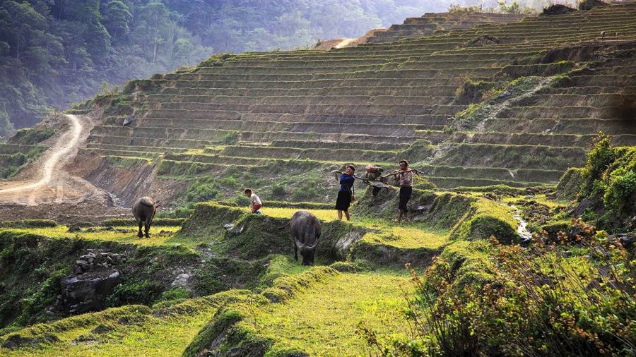
Hang Da, Hau Thao, Giang Ta Chai, Ta Van and Y Linh Ho — 27 km across 2 days, one overnight homestay.
 3D2N
3D2N
Sapa Valley Trek and Homestay
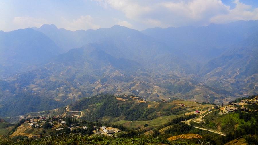
A deeper push through the valley to Giang Ta Chai and Su Pan, with two nights in local homestays.
 4D3N
4D3N
The Unlimited Sapa Trekking
8 villages across 3 valleys, including Giang Ta Chai, with 3 nights of Black H'mong and Red Dao homestays.
How to Get to Giang Ta Chai, With or Without a Guide
There is no paved or dirt road into Giang Ta Chai — every visitor, guided or not, covers the final stretch on foot from Ta Van. If you're self-guiding, you can drive or taxi to Lao Chai or Ta Van (roughly 8 km from Sapa town, 20–30 minutes by car) and pick up the trail south from there.
Past Ta Van, that trail stops being straightforward. The path fans out across the paddy grid into more than a dozen unmarked forks, several of which cross private terrace land where the owners don't welcome strangers walking through, and at least one stream crossing that only works as a dry-season stepping-stone ford. Offline map apps show a rough outline of the main valley road but don't reflect this ground-level network with any reliability. That's the honest reason most travellers — including plenty of confident hikers — do this particular stretch with a local guide rather than solo: it isn't about fitness, it's about not knowing which of a dozen similar-looking paths is the right one.
If you do go self-guided, leave Sapa by 7:30–8:00 AM so you're not navigating the forks in fading afternoon light, and budget the whole day rather than treating it as a quick add-on to a Lao Chai–Ta Van walk. A round trip from Ta Van — through the bamboo forest, to the waterfall, across the Cau May bridge, into the village and back out the same way — runs 4 to 5 hours of walking on top of whatever time you spend at the stops, which is why most people who want to see all three sights without rushing choose to stay the night in the village rather than return to Sapa the same evening. Guided day and multi-day treks solve the navigation problem entirely and usually work out close in cost to self-arranged transport plus a wasted afternoon backtracking out of a wrong turn.
Combining Giang Ta Chai With the Rest of the Muong Hoa Valley
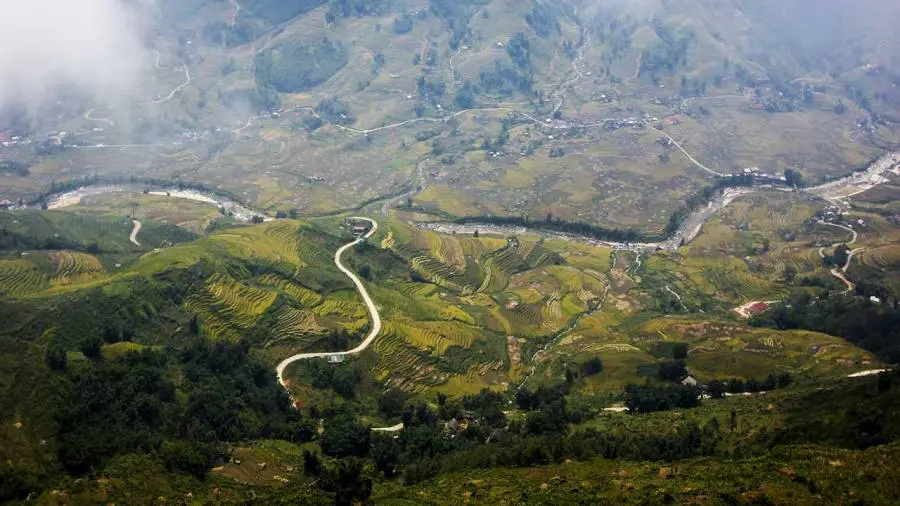
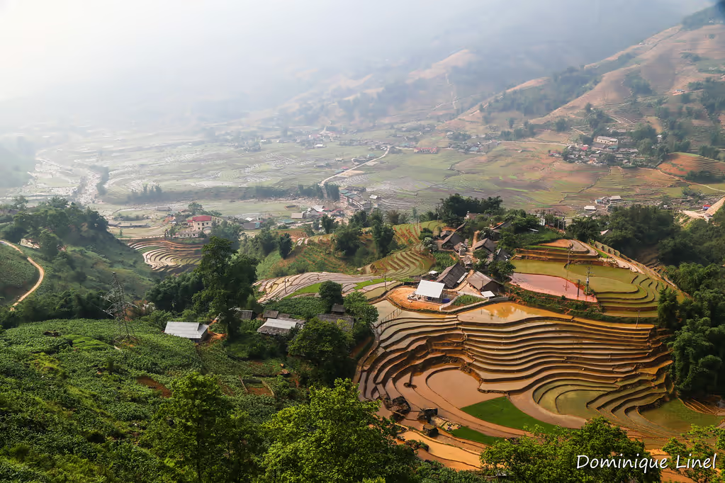
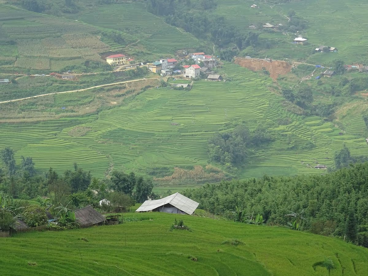
Giang Ta Chai isn't a dead end — it's roughly the two-thirds point of the full Muong Hoa Valley corridor, which continues south to Su Pan before the trail finally runs out. Multi-day trekkers typically string it together with the villages on either side: north through Ta Van, Lao Chai and Y Linh Ho on the way in, then on to Su Pan on a second or third day if the itinerary allows. Our 2-day Mountain Views trek turns back after Giang Ta Chai with one overnight; the 3-day valley trek and 4-day Unlimited route push on to Su Pan and beyond into neighbouring valleys. Which one makes sense depends mostly on how many days you have and how much walking you want each day, which is exactly what our guides talk through with you on WhatsApp before you book.
Best Time of Year to Visit
September through November gives the best combination for this specific walk: a firmer, less muddy bamboo-forest trail and the rice terraces around Ta Van turning gold on the approach. June through August brings the fullest waterfall but the worst underfoot conditions and the leeches mentioned earlier.
What to Pack for the Bamboo Forest and Waterfall Trail
Closed-toe shoes with real tread matter more on this route than on the standard Lao Chai–Ta Van day walk — the bamboo forest floor stays damp even in dry season, and the rocks around the waterfall are slick. Walking poles help on the descent back out, and a change of socks is worth carrying if you're trekking between June and August, along with trousers you're comfortable tucking into your socks against leeches.
Cash for homestay meals and tips is worth bringing too, since there's nowhere to withdraw money anywhere near the village — the nearest ATM is back in Sapa town. A headlamp is a good idea if you're staying overnight, since Giang Ta Chai's electricity supply is less consistent than in Ta Van, and a dry bag or liner for your pack is cheap insurance against both the stream crossing and a sudden afternoon shower, which is common even outside the official rainy season.
Rent at Our Office Before You Trek
 Gear Rental
Trekking Boots Rental
Waterproof ankle-support boots. Cleaned and checked before each rental. Available at 105 Thach Son Street.
 Gear Rental
Walking Poles Rental
Trekking poles available to rent at $2/day at our office, 105 Thach Son Street. Essential for descents.
Frequently Asked Questions
No — they are two different villages in two different valleys, despite both being well-known Red Dao communities. Giang Ta Chai sits in the Muong Hoa Valley, south of Ta Van, in what used to be Hau Thao commune (folded into the new Muong Hoa commune after Lao Cai's 2025 administrative mergers). Ta Phin is a separate Red Dao and Black H'mong village roughly 12 km northeast of Sapa town, in a completely different valley reached by a different road. The two get mixed up online partly because some Vietnamese travel blogs misstate Giang Ta Chai's commune.
There's no road into the village — it's walk-in only. Most visitors drive or taxi to Lao Chai or Ta Van, roughly 8 km from Sapa town and 20–30 minutes by car, then walk the remaining stretch south through the bamboo forest, around 1 to 1.5 hours further on foot depending on fitness and photo stops. A local guide is strongly recommended past Ta Van, since the trail splits into multiple unmarked paths through private rice terraces that mapping apps don't reliably show.
No. "Bamboo forest" isn't a single named attraction in Vietnam — it's a landscape feature that shows up in several trekking regions, including Mu Cang Chai, Pu Luong, and Sapa's own Muong Hoa Valley, each with its own separate stand of bamboo. The Giang Ta Chai bamboo forest is a specific, roughly two-kilometre stretch of dense grove on the trail between Ta Van and Giang Ta Chai village — it has no connection to those other locations.
It's a modest, multi-tier, seasonal cascade on a tributary of the Muong Hoa stream — not a headline attraction on the scale of Love Waterfall or Silver Waterfall on the other side of Sapa. Flow is noticeably fuller from May to August and thins out by December–January. There is no ticket gate, lifeguard, or posted safety signage at the falls, so swimming is at your own risk; ask your guide about current water levels and submerged rocks before getting in.
The village is predominantly Red Dao, recognisable by the women's red headscarves and heavy silver jewellery, with some Giay and Black H'mong households also settled along the stream corridor below it. Homestays are available directly through local families or as part of a multi-day guided trek. Given how far the village sits on foot from Sapa, an overnight stay is a more comfortable option than a rushed there-and-back day trip.
It's possible but genuinely harder than the well-marked Lao Chai–Ta Van walk closer to Sapa. South of Ta Van, the trail fans out across private terrace land with more than a dozen unmarked forks, and offline map apps don't reflect the actual ground paths. Guides from Trekking Tour Sapa grew up walking this exact route and can also translate if you stop at a Red Dao home along the way — most independent travellers combine the walk with a local guide rather than attempting it alone.
Photo credits: Muong Hoa Valley and Hau Thao photos by Christophe95 (Wikimedia Commons, CC BY-SA 4.0), resized or cropped. Photos of the walk from Giang Ta Chai to Ta Van by Dominique Linel (Flickr, CC BY-ND 2.0), resized only and otherwise unchanged.