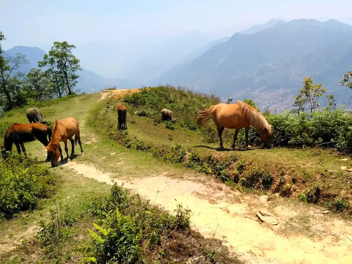
 Sinh Giang
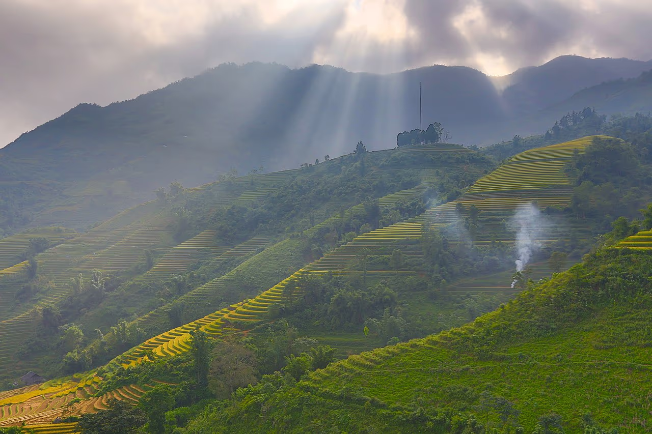
Here is the Sapa trekking map you need before you go: almost all of Sapa's trekking happens in one place — the Muong Hoa Valley, which runs south-east from Sapa town down to the Muong Hoa stream, linking a chain of Black H'mong and Red Dao villages. The classic route threads Y Linh Ho, Lao Chai, and Ta Van along the valley; shorter walks reach Cat Cat just below town; a quieter northern trail leads to Ta Phin; and Fansipan, the highest peak in Vietnam, rises to the west. Get those four directions clear and the whole area makes sense.
I have drawn the map below and marked every main route, village, and distance, then broken down each trail — how long, how hard, and what you see — so you can plan the trek that fits you. I guide these paths, so this is the map as we actually use it, not a tourist-office sketch. Use it to picture your day before you book, then let a local guide handle the turns that no map ever shows.
The Sapa Trekking Map
This is the schematic map of Sapa's main trekking routes. Sapa town sits at the top; the Muong Hoa Valley falls away to the south-east, with the villages strung along the valley floor and the Muong Hoa stream. Trails are colour-coded by difficulty, and Fansipan and the Hoang Lien National Park lie to the west.
Schematic map — distances are approximate walking distances from Sapa town. Trails follow paths and dirt roads through the Muong Hoa Valley; a local guide knows the exact turns.
Read the map left to right and it tells a simple story. You start at Sapa town, up at about 1,500 metres. From there you can drop south-east into the Muong Hoa Valley — the green heart of every classic trek — walk the short trail down to Cat Cat, head north to Ta Phin, or go west and up towards Fansipan. Nearly everything worth trekking is within about 15 kilometres of the town, which is why Sapa packs so much into a two- or three-day trip.
The Sapa Trekking Area at a Glance
Before the routes, here are the numbers that define the area on the map — the scale you are working with when you plan.
The takeaway from those numbers is that Sapa is compact and flexible. You do not need to travel far between trailheads, the villages are close enough to link on foot in a single day, and you can scale a trip from a gentle half-day to a serious four-day valley traverse — all from the same base in Sapa town.
The Geography Behind the Map
To read the map well, it helps to understand the land it draws. Sapa town sits high on a shoulder of the Hoang Lien Son range at about 1,500 metres, and everything trekkable falls away from it. The dominant feature is the Muong Hoa Valley, a deep, long trough running south-east, with the Muong Hoa stream at the bottom and rice terraces climbing both walls. Villages are built on the mid-slopes, above the flood-prone valley floor but below the steepest ridges — which is exactly where the trails run, contouring from one settlement to the next.
That geography explains the shape of every route. Treks nearly always start high, near town or at a road drop-off, then descend to the stream and follow it, because walking with the valley is far easier than crossing its steep side-ridges. To the west, the land rises instead of falling, straight up into the Hoang Lien National Park and Fansipan — which is why that one route is coloured hard while everything in the valley is green or orange. And to the north, Ta Phin sits in a separate, gentler side-valley, giving it a different, quieter feel. Once you see the terrain this way, the coloured lines on the map stop being abstract and start making physical sense.
The Main Trekking Routes on the Map
Sapa has five routes worth knowing, and the table below lays them out side by side so you can match a trail to your fitness and your time. Distances are one-way walking distances from the trailhead; most treks are done as loops with a drive at one end.
| Route | Villages | Distance | Difficulty | Time |
|---|---|---|---|---|
| Muong Hoa Valley (classic) | Y Linh Ho · Lao Chai · Ta Van | ~10–14 km | Moderate | Full day |
| Cat Cat loop | Cat Cat | ~4 km round | Easy | 2–3 hrs |
| Ta Phin route | Ta Phin (Red Dao) | ~10–14 km | Moderate | Full day |
| Deep valley | Ta Van · Giang Ta Chai · Ban Ho | ~18–24 km | Moderate | 2 days |
| Fansipan summit | Hoang Lien NP | ~11–14 km | Hard | 1–2 days |
If you only have time for one, the classic Muong Hoa Valley route is the answer — it is the trail on the map that links the most villages, delivers the biggest terrace views, and suits most fitness levels. The rest are variations on a theme: shorter, quieter, deeper, or higher. Let me walk you through each.
Route 1: The Classic Muong Hoa Valley Trek
This is the trek almost everyone comes to Sapa for, and the central green line on the map: Sapa town down to Y Linh Ho, then along the valley through Lao Chai to Ta Van. It is roughly 10 to 14 kilometres depending on where you start and stop, moderate in difficulty, and doable as a full day by most reasonably fit walkers. It packs in the best of Sapa — the biggest terraces, the Muong Hoa stream, and three or four ethnic villages.
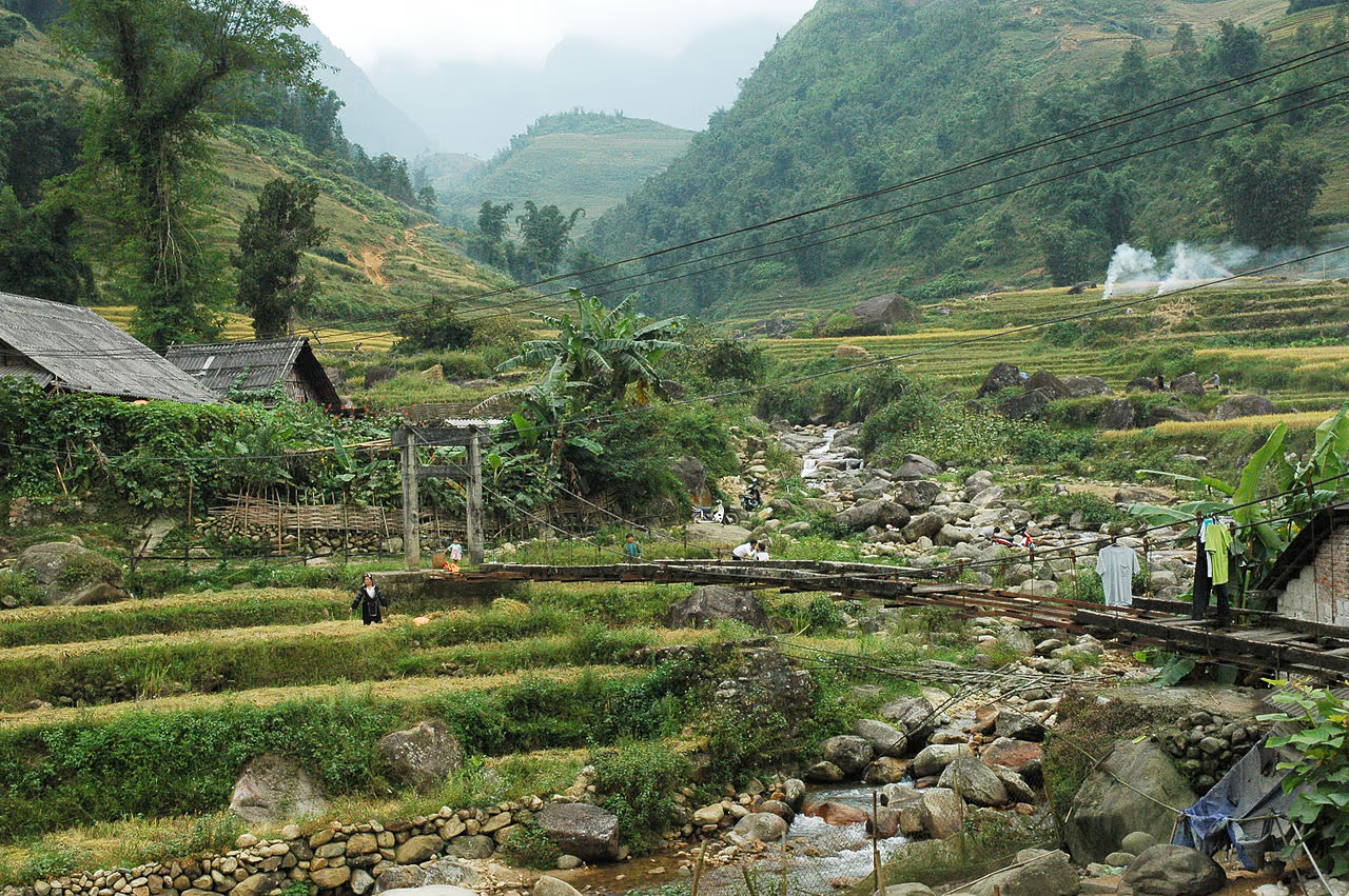
The day usually begins with a short drive to the trailhead above Y Linh Ho, a Black H'mong hamlet, to skip the least interesting road section and drop you straight into the scenery. From there the path descends to the valley floor, crosses the stream, and climbs gently through Lao Chai, the largest Black H'mong village, before following the water down to Ta Van, where the Giay people live. Lunch is a home-cooked meal with a local family in Ta Van. Here is the shape of the day underfoot.
Elevation profile — Y Linh Ho to Ta Van (classic valley trek)
As the profile shows, the hard work is a descent early on, then the day rolls gently along the valley floor — which is why it suits most people, even if the down-hill sections are hard on the knees after rain. Walking poles help, and we provide them free. It is the single trek I would put on any first-timer's map of Sapa.
Here is how that day actually unfolds on the ground. We meet in Sapa town in the morning and drive fifteen or twenty minutes to the drop-off above Y Linh Ho, already in the scenery. The first hour is the steep part — a descent on a narrow dirt path between terraces down toward the stream, where poles earn their keep. Once you are on the valley floor the walking eases: you cross the Muong Hoa on a footbridge, pass water buffalo and farmers working the paddies, and climb gently into Lao Chai, where the terraces spread out in every direction.
Lunch is in a family home in Ta Van — usually a spread of stir-fried greens, spring rolls, rice, and grilled pork, with the family's own rice wine if you want it. Afterwards the trail follows the stream a little further before the road meets you for the ride back to town, so you are not retracing your steps. Total moving time is four to five hours across the day, with plenty of stops for photos, the village lunch, and simply catching your breath at a viewpoint. It is an unhurried, deeply satisfying day, and it is the single best way to understand why Sapa is worth the trip.
Route 2: The Cat Cat Village Loop
Cat Cat is the short, easy option closest to town — the green stub on the map, just two kilometres downhill from the centre. It is a gentle two-to-three-hour loop down to a Black H'mong village and a waterfall, on a mostly paved and stepped path, and it is the only route here that is ticketed and developed. That makes it the busiest and most commercial of the walks, but also the most accessible: good for families, for a first afternoon, or for anyone short on time or energy.
On the map, Cat Cat sits between the town and the deeper valley, and many people combine a morning on the classic route with an easy afternoon here. Just know that Cat Cat is the tourist-friendly taster, not the real backcountry — for the quiet villages and the big terraces, you need the longer green and orange lines further down the valley.
Route 3: Ta Phin and the Red Dao
The purple line running north from Sapa town leads to Ta Phin, a valley of Red Dao and Black H'mong villages about 12 kilometres away. It is a moderate full-day trek through a different, quieter landscape from the Muong Hoa Valley — more rolling hills, cardamom forest, and fewer other trekkers. Ta Phin is famous for two things: intricate Red Dao embroidery, and the herbal baths the Red Dao prepare from dozens of forest plants, which are the perfect end to a cold day's walk. The women of Ta Phin are also known for approaching trekkers to sell handmade brocade — charming to some, tiring to others — and a guide helps you navigate that with good humour.
Ta Phin is the route to choose if you have already done the classic valley, or if you want the culture-and-quiet side of Sapa over the biggest terraces. On the map it deliberately points the opposite way from the main valley — a reminder that Sapa's trekking is not just one trail but a hub with spokes running in several directions.
Route 4: The Deep Valley — Ta Van to Ban Ho
For a longer, two-day trek, the orange line continues past Ta Van to Giang Ta Chai, a Red Dao hamlet with a waterfall, and on towards Su Pan and Ban Ho, a Tay village deep in the valley. This is the 18-to-24-kilometre traverse for travellers who want to go beyond the day-trip villages into quieter country, usually with a homestay night along the way.
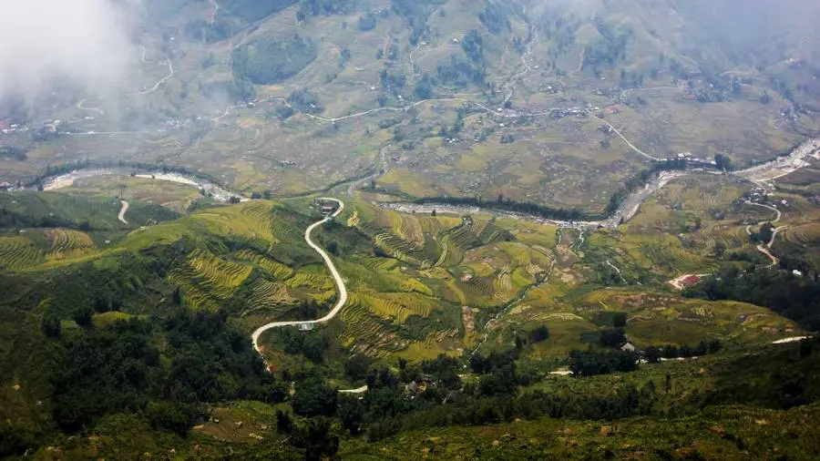
The deeper you go on the map, the more the tourism drops away and the more the valley belongs to the people who farm it. The scenery stays spectacular — terraces, bamboo, waterfalls, and the Muong Hoa stream all the way — but the trail gets longer and the homestays simpler. This is the route for the second-time visitor, or the first-timer who wants their Sapa trek to feel like a genuine expedition. Because it ends far from town near Ban Ho, it also pairs naturally with a soak in the Tay village's surroundings and a slower pace, and the homestays here are among the most authentic — and the most basic — on the whole map.
Route 5: Fansipan — the Big Climb
The red dashed line heading west and up leads to Fansipan, at 3,143 metres the highest mountain in Vietnam, Laos, and Cambodia, inside the Hoang Lien National Park. This is the one hard route on the map, and it comes in two forms. You can trek it — a demanding one- or two-day climb through changing forest to the summit, for fit, well-equipped walkers with a guide — or you can take the record-breaking cable car, which reaches near the summit in about fifteen minutes.
Fansipan sits apart from the village treks for a reason: it is a mountaineering objective, not a valley walk, and the weather at the top can be brutal even when Sapa town is mild. Most visitors take the cable car and treat the summit as a spectacular half-day; serious trekkers make it the centrepiece of their trip. Either way, it is the one point on the map where the trekking turns from cultural to alpine.
Reading the Map: Difficulty, Distance and Elevation
The colours on the map are the quickest way to plan: green trails are easy and mostly gentle, orange are moderate with real ups and downs, and the red dashed line is hard. But two things the colours cannot fully show are worth understanding before you set out.
In practice, treat the distances on the map as a guide, not a promise. A "10-kilometre" valley trek with steep, muddy descents and a leisurely village lunch is a full, satisfying day — not a quick stroll. Build in time, and let the terrain, not the kilometre count, set your pace.
Common Mistakes People Make Reading the Map
A map is only as good as the way you read it, and a few misreadings trip up visitors again and again. Avoid these and your trekking day will go far more smoothly.
Underestimating the descents. The single biggest mistake. A short distance on the map can hide a steep, knee-punishing drop to the stream that is slow and slippery, especially after rain. Judge a route by its terrain and elevation, not just its kilometres. Judging Sapa by Cat Cat. Many day-trippers walk only the ticketed Cat Cat loop, decide Sapa is over-touristed, and leave — missing the entire quiet valley a few kilometres further down the same map. Trying to link too much. The villages look close together, but the ups and downs between them add up; two or three villages is a full, happy day, not six. Trekking a big-view route in fog. If the cloud is down, the ridge viewpoints on the map show nothing — the smart move is to drop into the valley where the villages and daily life are the reward. A guide reads the day's weather and adjusts the route accordingly, which no printed map can do.
The Villages on the Map — Quick Reference
Every dot on the map is a living village with its own community. Here is who you meet and what stands out at each, from town outwards.
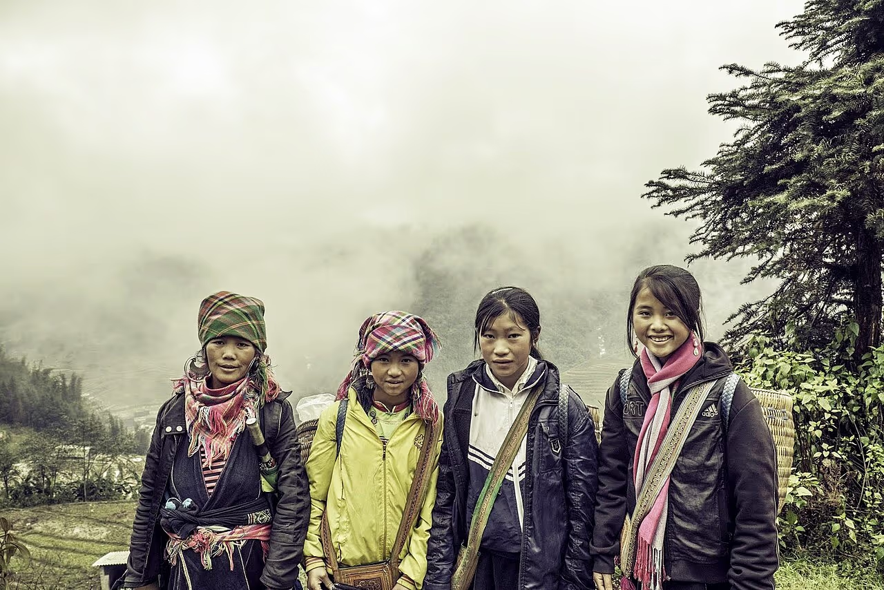
- Cat Cat — Black H'mong, closest to town, waterfall, ticketed and developed. The easy taster.
- Y Linh Ho — Black H'mong, the usual trailhead for the classic valley trek. Small and scenic.
- Lao Chai — the largest Black H'mong village, spread across the terraces on the valley floor.
- Ta Van — Giay people, the classic lunch and homestay stop by the Muong Hoa stream.
- Giang Ta Chai — Red Dao, a waterfall hamlet on the deeper valley route.
- Ban Ho — Tay people, deep in the valley, for the two-day traverse.
- Ta Phin — Red Dao and Black H'mong, north of town, famous for embroidery and herbal baths.
Distances and Walking Times Between Villages
The map shows how the villages connect; this table shows how far apart they actually are on foot, so you can judge how much to link in a day. Times are for a relaxed walking pace with stops, on the standard valley trails.
| Leg | Distance | Walking time |
|---|---|---|
| Sapa town → Cat Cat | ~2 km | ~40 min (downhill) |
| Sapa town → Y Linh Ho | ~7 km | Short drive to trailhead |
| Y Linh Ho → Lao Chai | ~4 km | ~1.5 hours |
| Lao Chai → Ta Van | ~3 km | ~1 hour |
| Ta Van → Giang Ta Chai | ~2 km | ~45 min |
| Giang Ta Chai → Ban Ho | ~8 km | ~3 hours |
| Sapa town → Ta Phin | ~12 km | ~4 hours |
Add the legs up and you can see why the classic Y Linh Ho–Lao Chai–Ta Van chain is the sweet spot: about three to four hours of actual walking, plus lunch and stops, fills a comfortable day. Pushing on to Giang Ta Chai or Ban Ho tips it into a long day or an overnight — which is exactly why the deep-valley route is planned as two days.
How to Use This Map to Plan Your Trek
Use the map as a planning tool in four simple steps, and you will arrive knowing exactly what your day looks like.
1. Pick your time. One day gets you the classic valley or Ta Phin; two days lets you go deep to Ban Ho or add a homestay; three days does the valley plus Fansipan or a second route. 2. Pick your difficulty by colour. Green for gentle, orange for a proper full day, red only if you are fit and want the mountain. 3. Pick your villages. Decide whether you want the busy-but-beautiful classic trail or the quieter northern and deep-valley routes. 4. Hand it to a guide. Give us your choice and your dates, and we handle the trailhead drive, the route, the family lunch, and the turns the map cannot show.
That last step is the one that matters most. A map gets you oriented; a local guide gets you there safely, opens the doors to the family lunch, and finds the quiet trail the diagram never marks. These are the guided treks that follow the routes on this map.
Building a 2 or 3-Day Trek from the Map
One day is enough for a single line on the map, but two or three days let you combine them into something richer, and this is where the map really pays off. A well-built multi-day trek strings routes together so you never double back and each day feels different.
A classic 2-day / 1-night plan walks the Muong Hoa Valley from Y Linh Ho through Lao Chai to Ta Van on day one, stays overnight in a village homestay by the stream, then continues deeper to Giang Ta Chai and toward Ban Ho on day two before the drive back — the full green-into-orange traverse on the map. A 3-day / 2-night plan adds either the Ta Phin loop (the purple northern line, for Red Dao culture and a herbal bath) or a day on Fansipan by cable car, giving you the valley, a second landscape, and the high mountain in one trip.
The art is in the sequencing — starting high, descending with the valley, timing the homestay for the quietest village, and saving the hardest climb for when your legs are warmed up. That is the part we plan for you: you choose the shape from the map, and we turn it into a day-by-day route that flows. Tell us how many days you have and which lines you want, and we will build the rest.
Guided Treks Along These Routes
 Best Seller
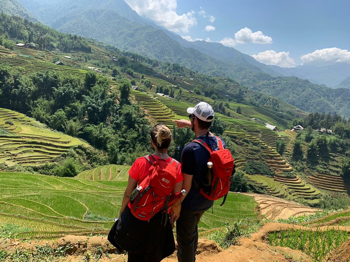
Trekking Through Rice Terraced Fields
The classic map route — Y Linh Ho, Lao Chai & Ta Van along the Muong Hoa Valley.
Rice Terraced Fields & Homestay
Go deeper down the valley with a night in a village homestay by the Muong Hoa stream.
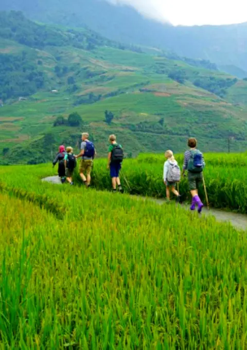 Seniors & Families
Sapa Easy Trekking For Seniors
The gentle green routes on the map — flat valley paths with poles provided.
Getting to the Trailheads
Every route on the map starts from Sapa town, and you reach Sapa from Hanoi — about 320 kilometres north-west. Most treks then begin with a short transfer to the trailhead, which we include when you book. Here is how to get to Sapa in the first place; all options are available as an add-on with a trek.
 Most Popular
Sleeper Bus
Sleeper & cabin options · 5–6 hours · From $17
 Fastest
Limousine Van
Door-to-door express · ~3.5 hours · Direct highway
 Most Reliable
Overnight Train
Hanoi–Lao Cai · ~8 hours · No mountain-road risk
Compare every departure on our Hanoi to Sapa transport page. Once you are in Sapa, the trailhead transfers for each route on the map are short and included with your trek.
Using the Map on the Trail
Once you are walking, how much should you rely on a map or phone? Honestly, less than you might think. The schematic above is for planning — for picturing the valley and choosing a route before you go. On the ground, the Muong Hoa trails branch constantly into farm paths, and none are signposted, so a top-down map is only a rough guide to where you are.
If you do want digital backup, offline apps like Maps.me or organic-maps show the main tracks and work without signal, which is patchy in the valley — download the Sapa area before you set off. But even the best app cannot tell you which of three muddy forks leads to the family lunch and which dead-ends at a paddy. That is why, for all but the most obvious town-edge walks like Cat Cat, we and almost every experienced visitor recommend trekking with a local Black H'mong or Red Dao guide. They are the living map: they read the weather, know every turn and shortcut, and open the doors to the villages that make a Sapa trek more than a walk. Use the map to dream and plan; use a guide to actually get there.
What to Bring for the Trails on the Map
Whichever route you pick, the kit is much the same — Sapa's weather turns fast and the valley trails are uneven, so pack for a proper hill walk.
- Grippy trekking shoes — the descents to the stream are slippery, especially after rain.
- A rain jacket or poncho — always, in any season.
- Walking poles — a big help on the valley descents (we lend them free at the office).
- Warm layers — mornings are cool even in summer, cold in winter.
- Small daypack with water — 1.5–2 litres for a full valley day.
- Sun protection and a charged phone — for the open terraces and the photos.
If you would rather not buy gear for one trip, we rent trekking boots and walking poles by the day at our office at 105 Thach Son Street, cleaned and checked before each rental.
Rent Trekking Gear Before You Hit the Trail
 Gear Rental
Trekking Boots Rental
Waterproof ankle-support boots — grip for the valley descents. Cleaned before each rental.
 Gear Rental
Walking Poles Rental
Trekking poles at $2/day — essential for the steep, slippery valley descents on the map.
Best Time to Trek the Routes
The map works all year, but the valley looks very different by season. March to May is clear, cool, and green; September and October bring the golden rice harvest, the most photogenic time on every route; May and June flood the terraces into mirrors. Winter (December to February) is cold and often foggy but quiet, and the summer months are green but wet and slippery. For the full picture, see our guides to the best time to visit Sapa and Sapa weather by month, and if you are still deciding whether to come at all, our honest take on whether Sapa is worth visiting. For a deeper route-by-route breakdown, our full Sapa trekking guide picks up where this map leaves off.
The Bottom Line
The Sapa trekking map comes down to one valley and a few spokes: the Muong Hoa Valley through Y Linh Ho, Lao Chai, and Ta Van for the classic trek; Cat Cat for an easy taster; Ta Phin for quiet Red Dao country; the deep valley to Ban Ho for a longer traverse; and Fansipan for the big climb. Everything is within about 15 kilometres of Sapa town, and everything is more rewarding with a local guide who knows the turns the map cannot show.
Pick your route by colour and time, pack for a real hill walk, and give the valley the couple of days it deserves. Tell us on WhatsApp which line on the map you want to walk, and we will plan the trek — the trailhead, the villages, the lunch, and the pace — around it.
Frequently Asked Questions
Yes — the schematic map above shows Sapa's main trekking routes. Almost all trekking is in the Muong Hoa Valley, which runs south-east from Sapa town through Y Linh Ho, Lao Chai, and Ta Van, with shorter walks to Cat Cat, a northern route to Ta Phin, and Fansipan to the west. Trails are colour-coded by difficulty, but the exact paths change, so a local guide is still the most reliable "map" on the ground.
For an easy first walk, the Cat Cat loop just below town is short, gentle, and mostly paved. For a fuller but still manageable day, the gentle sections of the Muong Hoa Valley — or our dedicated easy valley route for seniors and families — give you the terraces and villages without the hardest descents. Green trails on the map are the beginner-friendly ones.
The classic Muong Hoa Valley trek from Y Linh Ho through Lao Chai to Ta Van is roughly 10 to 14 kilometres, done as a full day. With steep, sometimes muddy descents and a village lunch, it takes most of a day at a relaxed pace — treat the distance as a guide rather than a quick number, and allow time to enjoy it.
You can walk the main valley trail independently, but a map only takes you so far in Sapa. The paths branch, change with the farming seasons, and are unmarked, and the best shortcuts and family lunches are only known locally. A Black H'mong or Red Dao guide keeps you on route, opens doors a map cannot, and is inexpensive — which is why most travellers go guided.
The main villages, from town outwards, are Cat Cat (Black H'mong), Y Linh Ho (Black H'mong), Lao Chai (Black H'mong), Ta Van (Giay), Giang Ta Chai (Red Dao), and Ban Ho (Tay) along the Muong Hoa Valley, plus Ta Phin (Red Dao and Black H'mong) on the northern route. Each has its own ethnic community, dress, and character.
Hard. Fansipan is a demanding one- or two-day climb of Vietnam's highest peak (3,143m) through steep forest, needing good fitness, proper gear, and a guide, with cold, changeable weather at the top. If you are not up for that, the cable car reaches near the summit in about fifteen minutes and gives you the views without the climb — the choice most visitors make.